Between 2016 and 2025, about 84.38 million acre-feet of water passed the river gauge at Lees Ferry, Arizona. For 2017 through 2026 the total is expected to be about 82.74 million. That slim cushion is why Colorado River states were preparing for lawyers in the spring.
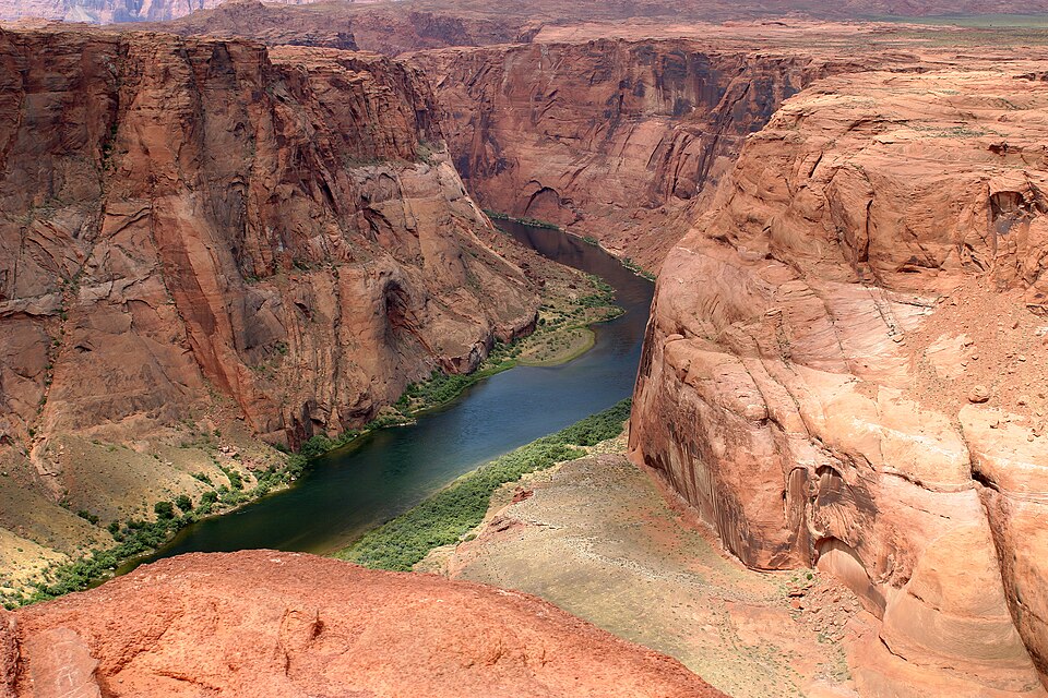
The gauge sits in Marble Canyon, roughly 15 river miles below Lake Powell. Its readings drive the water-sharing deal among upstream states such as Colorado and downstream states Arizona, California and Nevada. If flows fall too low, the downstream states can argue the upstream states are breaking century-old agreements. A fight like that might only be settled in the U.S. Supreme Court.
The 1922 bargain
The 1922 Colorado River Compact split the river roughly in half. Four Upper Basin states could use up to 7.5 million acre-feet a year. The three Lower Basin states got 7.5 million, with an option for 8.5 million. Upstream states also promised not to let flow at Lees Ferry drop below 75 million acre-feet over 10 years.
Each side now reads that promise differently. The Upper Basin says 75 million is the full obligation. The Lower Basin says it is really 82.5 million acre-feet, because it should include half of the U.S. delivery obligation to Mexico.
Talks near collapse
Negotiations over how to run the river’s main reservoirs after Oct. 1 were close to failing, which would leave the decision with the federal government. Arizona confirmed it had hired a top-tier law firm for Colorado River litigation.
“I believe that Arizona and California have threatened to file an action in the Supreme Court,” said Andy Mueller, general manager of the Colorado River Water Conservation District. “I have no reason to believe they won’t follow through with that threat.” He expected litigation within 12 months. Alex Davis of Aurora Water was blunter about the timing: “Nothing’s going to happen this year in terms of curtailment or a call, but Arizona is going to sue this year.”
Lake Powell decisions
The Bureau of Reclamation wants Lake Powell at or above 3,500 feet to keep generating power and protect the dam’s outlets. After a historically hot and dry winter, the level was projected to fall to 3,476 feet. The current plan is to release 7.48 million acre-feet from Glen Canyon Dam, but federal officials can legally release as little as 6 million. That would push the 10-year total toward 81.24 million acre-feet, below even the Lower Basin’s figure of 82.5 million. Reclamation and the Upper Colorado River Commission planned to decide by late April.
Eric Kuhn, a longtime river expert, warned that a lower release raises the chance of a lawsuit, and water court cases can run for decades.
What it means in Colorado
Colorado has no statewide plan for who would have to cut back. Anyone with Colorado River rights established after 1924 would be at risk, including Denver Water, which supplies 1.5 million people, and Northern Water, which serves more than 1.1 million people and 615,000 acres of farmland. Windsor gets about 87% of its water from the Colorado-Big Thompson Project.
Mueller said cities, hospitals and fire hydrants would keep their water. The worry is new housing, small farms and ranches, and lawns. Steve Pope of the Uncompahgre Valley Water Users Association said farmers want assurances that any water diverted to cities goes strictly to health and human safety. “Not for car washes or coffee shop faucets.”