Eight corners of Wisconsin, from a waterfall park in Douglas County to glacier-carved forest near Lake Michigan, make the Milwaukee Journal Sentinel’s summer list of nature spots worth a road trip. The paper’s Elena Metinidis put the roundup together on June 27, 2026, for readers who want lakes, bluffs and trails while the weather holds.
Waterfalls and islands in the north
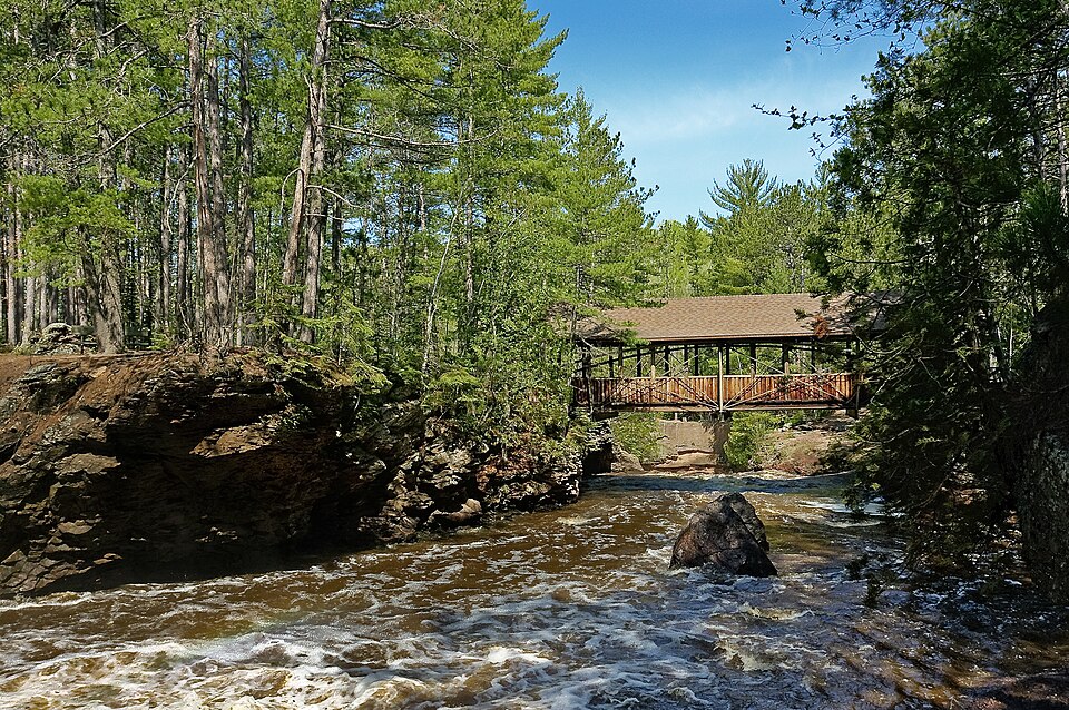
The Journal Sentinel starts at Amnicon Falls State Park, which it credits with Wisconsin’s largest waterfall, Big Manitou Falls, plus a smaller neighbor called Little Manitou. Trails there bring walkers right up beside falling water or fast rapids. Anyone wanting more can add Copper Falls, 90 miles east, or Pattison State Park, 15 miles southwest.
Further out sit the Apostle Islands. Twenty-two islands lie in Lake Superior off the tip of the Bayfield peninsula, and most belong to Ashland County. The mainland sea caves are the big draw, and kayakers can paddle in. Campsites exist on 18 of the 21 islands, reachable only by kayak or boat. Cruises run past lighthouses and caves for those who would rather stay dry.
Rivers and the Mississippi bluffs
The Kickapoo River Valley, in the Driftless Region, covers parts of Vernon and Crawford counties. Forested hills and bending rivers set it apart from the rest of the state, the paper says. The river runs 125 miles from near Wilton through La Farge and Ontario to Wauzeka. Summer canoe and kayak trips are the pitch, with Wildcat Mountain State Park and the Kickapoo Valley Reserve offering trails. Private cabins with big porches face the hills, and the area draws fewer crowds than other summer spots.
The Great River Road follows the Mississippi for 3,000 miles across several states. In Wisconsin it passes through Stockholm, Pepin and Alma. Wineries line the way. The Journal Sentinel suggests hiking Perrot State Park in Trempealeau County and Maiden Rock State Natural Area in Pepin County, then eating pizza on a farm at the Stone Barn or tasting wine at Villa Bellezza and Danzinger.
Campers have two bluff-top options above the same river: Wyalusing State Park near Bagley and Nelson Dewey State Park near Cassville. Both fill fast, so the paper advises watching for cancellations or planning months ahead. Wyalusing offers car-camping sites with little privacy but views over the Wisconsin and Mississippi rivers. Nelson Dewey has four walk-in sites with more space between neighbors. Trains rattle by below the bluff.
Forests, lakes and glacial ground
In the Northwoods, the Chequamegon-Nicolet National Forest and the Northern Highland-American Legion State Forest together protect more than 1.75 million forest acres and thousands of lakes. Dozens of small campgrounds, many on lakeshores, sit in both. Backcountry campers can head off the North Country Trail or the Ice Age Trail onto national forest land.
Chequamegon-Nicolet alone takes in 1.5 million acres across 11 counties, among them Ashland, Bayfield, Sawyer and Price, just south of Lake Superior. The state forest reaches Iron, Oneida and Vilas counties. The paper singles out Laura Lake, Bagley Rapids and Crystal Lake.
On the way to Door County, the Ridges nature preserve in Baileys Harbor was Wisconsin’s first land trust. Boardwalks cross it, as they do across much of this stretch of Lake Michigan.
The list closes with Kettle Moraine State Forest, a mix of lakes, pines, prairies and glacial landforms. It has dozens of wooded campsites with room between them. The Ice Age Trail is its best-known path. According to the Wisconsin Department of Natural Resources, more than 600 miles of the trail can be hiked, and 30 of those miles run through the forest’s northern unit. The trail is for walkers, with branches for mountain bikes and horses. Six units of the forest cover Fond Du Lac, Jefferson, Sheboygan, Walworth, Washington and Waukesha counties.